
City of Kamloops Adopts Wildlife Corridors into Official Community Plan
The City of Kamloops has formally adopted the Thompson-Nicola Conservation Collaborative’s (TNCC) mapped wildlife corridors into its Official Community Plan (OCP) — known as KAMPLAN. This milestone marks an exciting step toward integrating ecological connectivity into long-term land-use and climate resilience planning.
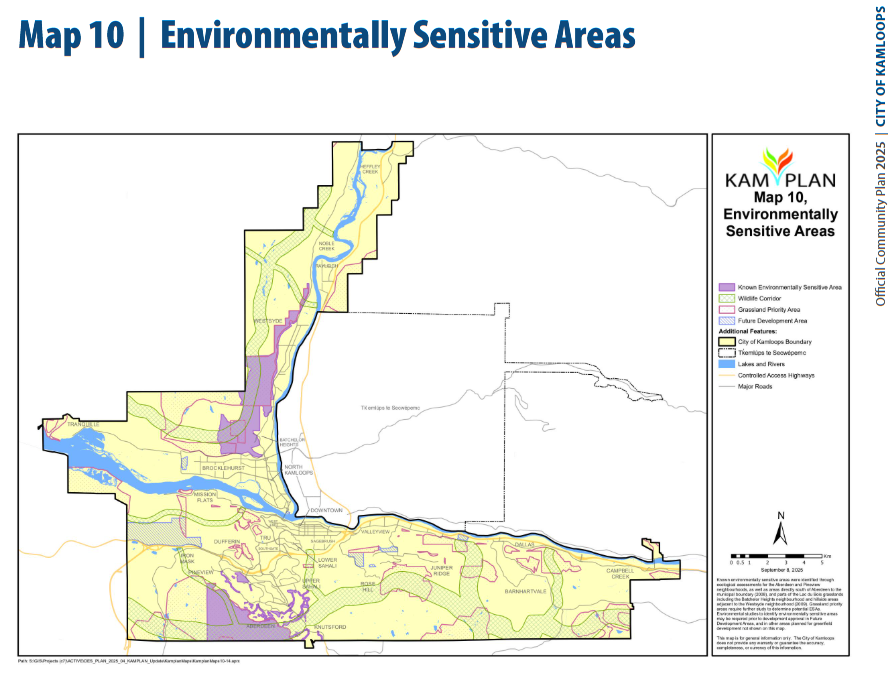
KAMPLAN 2025, Map 10: Environmentally Sensitive Areas (indicating wildlife corridors)
A Foundation for Resilient Landscapes
By embedding mapped wildlife corridors into the OCP, Kamloops is taking proactive steps to maintain habitat connections across the city and surrounding landscapes. These corridors guide the movement of wildlife and the flow of ecological processes — from pollination and water regulation to species adaptation in a changing climate. Growing partnerships like this demonstrate increasing recognition of connectivity as a cornerstone for biodiversity protection, climate resilience, and sustainable regional development.
About KAMPLAN
KAMPLAN is the City’s highest-level strategic planning document, guiding land use, development, infrastructure, environmental protection, and recreation decisions. The current update to KAMPLAN was prompted by provincial legislation introduced in 2023, requiring all BC municipalities to review and modernize their OCPs by the end of 2025. The City’s last comprehensive OCP was adopted in 2018 after extensive engagement.
Unlike routine amendments, the 2025 review represents a significant refresh — aligning Kamloops’ growth and housing goals with new environmental and climate objectives. The updated plan integrates recent science, climate modelling, and regional conservation data, including TNCC’s wildlife corridor mapping.
Once finalized later this year, the new OCP will guide city decision-making, influencing everything from neighbourhood design to infrastructure investments and parks planning.
How the OCP and Zoning Bylaw Work Together
An Official Community Plan provides the high-level vision for how land should be used and developed across the city — identifying where residential, commercial, industrial, and open-space areas should go, and at what general densities.
The Zoning Bylaw, on the other hand, is the regulatory tool that implements that vision on the ground. It specifies detailed requirements such as building height, setbacks, landscaping, parking, and lot coverage.
Any rezoning must align with the direction set out in the OCP, ensuring that day-to-day planning decisions reflect the city’s long-term goals.
Why This Matters
Incorporating mapped wildlife corridors into Kamloops’ planning framework helps ensure that critical linkages between ecosystems remain intact even as the city grows. This policy integration means future developments and infrastructure projects will be evaluated not only for their economic and social impacts, but also for their role in maintaining connected, climate-resilient landscapes.
For TNCC and partners, this collaboration sets a precedent for regional-scale conservation integration — aligning municipal land-use planning with ecosystem-based approaches and cross-boundary stewardship.
What’s Next
With corridor mapping now formally embedded in KAMPLAN, TNCC will continue to offer support to the City, local partners, and Indigenous communities to support implementation aiming to ensure that the wildlife corridors of the Thompson-Nicola remain connected — for people, nature, and future generations.
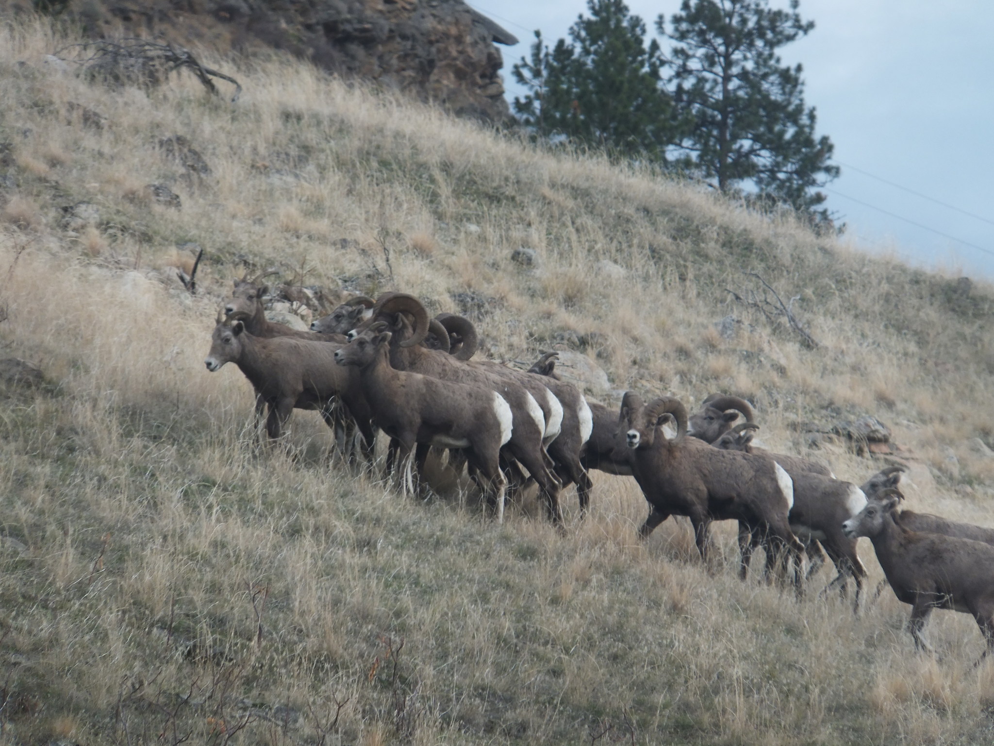
Feature image: Bighorn Sheep by Doug Brown, no rights reserved, via iNaturalist